Welcome to ST.JOHN’S WOOD

In this chapter:
- walk/cycle trail through ST.JOHN’S WOOD, towards the “town centre”
- EMI STUDIOS: THE BEATLES
- route towards MAIDA VALE and LITTLE VENICE
- diversion/exit towards REGENT’S PARK and the WEST END
- other attractions close to ST.JOHN’s WOOD, not covered on the routes


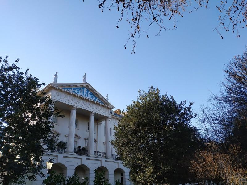
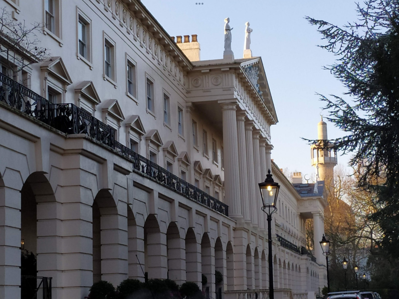
Conservation Area


THE UNDERGROUND MAP says: “St John’s Wood was once part of the Great Forest of Middlesex with the name deriving from its mediaeval owners, the Knights of the Order of St John of Jerusalem (Knights Hospitallers), an Augustinian order. The order took over the land from the Knights Templar in 1323.
After the Reformation and the Dissolution of monastic orders, St John’s Wood became Crown land, and Henry VIII established Royal Hunting Grounds in what became known as Marylebone Park.
Until the end of the eighteenth century, the area was agricultural. With the development of the WEST END, it lost its rural character and started to be developed by the landowners -EYRE, HARROW, PORTLAND… ESTATES- whose new buildings who received the interest on the part of wealthy Londoners wishing to install their mistresses: Italianate semidetached villas, Gothic mansions or white stucco terraces sprang up. Mistresses… and artists or writers: LANDSEER, ALMA-TADEMA, FRITH, GEORGE ELIOTT. Or an un-crowned queen: Mrs.FITZHERBERT.
RICHARD BRANSON, ANNIE LENNOX, footballers…
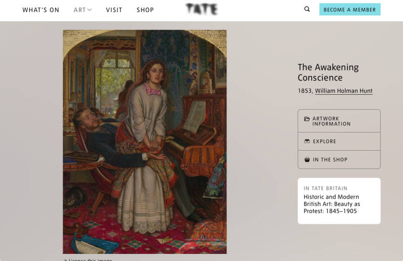
One of Leigh Hunt’s correspondents once bitterly complained that plans to develop St. John’s Wood were going to lead to ‘a stucco town’ erected by ‘royal placemen, half-pay swashbucklers and superannuated sirens.’ By the time we arrived there was plenty of stucco, as we found to our cost when we had to redecorate, but none of the more exciting characters were to be seen. All seemed boringly respectable.
This didn’t, however, reassure my mother. On learning that we were planning to move there, she wrote in a state of great anxiety. ‘Darling, you can’t possibly take Mossy [my wife’s nickname] there. Only peoples’ mistresses live there.’ I had a hard task persuading her that she was nearly a century out of date. It was true that a local history (of the church!) referred to the ‘air of romance’ which made the Bois, as we called it, ‘the Abode of Love and the Fine Arts’, but by our day things had gone up, or maybe down, hill. Why, a past President of the Law Society, no less, lived in our chosen terrace! Possibly less comfortingly for my old-fashioned mother, so did one of Sigmund Freud’s sons. It was some time before she was convinced that we weren’t living in a hotbed of immorality, surrounded by houses of ill-fame outside whose high Victorian walls horses waited patiently, while inside their owners behaved disreputably.

Queens Grove
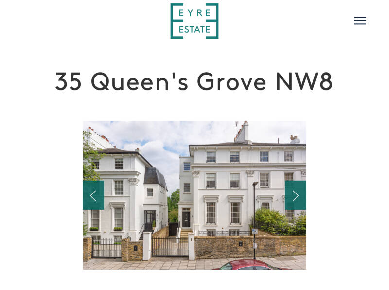
No.48
Ilich Ramirez Sanchez, better known as Carlos the Jackal, made his first attempt at assassination on 30 December 1973.When the butler at 48 Queens Grove, home of Edward Sieff, chairman of Marks and Spencer, opened the front door he was faced with a 9mm Biretta pistol and forced to lead Carlos upstairs. Mrs Sieff saw this from her bedroom and phoned the police, but Carlos went into the bathroom and shot Mr Sieff in the face from three feet away. Sieff was knocked unconscious but his dentures caused the bullet to bounce away, and the gun jammed as Carlos tried to finish him off. The terrorist fled just as the police arrived within two minutes of the phone call and he was believed to have hidden in a friendly embassy building in Avenue Road.
Woronzow Rd.
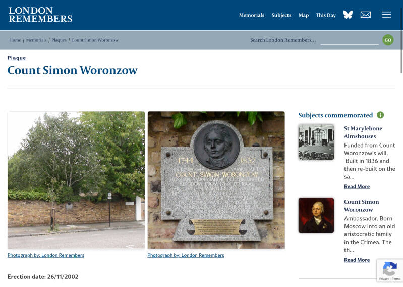
Count Simon Woronzow was Russian Ambassador to the United Kingdom from 1784 to 1806.
Did he lived in the area?. On his death in 1832 he left a bequest for the poor of the parish. The money was used to build these Almshouses in 1836 but what we see today is a 1960 rebuild.
LONDON REMEMBERS continues:” It's odd that the plaque is placed here rather than at the almshouses at the other end of the road. Possibly the Count had a house here, at this end, but we can't find any evidence.
2013: Our colleague, Jamie Davies, had a go at resolving this puzzle and found Humphrys Family tree which confirms that Woronzow lived in this road (“the street where he resided … is now called Woronzow Road”). However an 1843 map (on-line here) shows the Marylebone Almshouses and some other buildings in the area, but the road now called Woronzow Road does not yet exist and the area around the site of the plaque is not yet built up. So Woronzow, who died in 1832, could not have lived in the road. Puzzle unresolved.”
Peter the Great Company?
https://www.ebsco.com/research-starters/history/peter-great-tours-western-europe
The plaque is a gift of Peter the Great Company of St Petersburg to the citizens of Camden.
Peter the Great's visit to London in 1698, as part of his "Grand Embassy," had a significant impact on Anglo-Russian relations and Peter's vision for modernizing Russia.His time in London, though brief, was marked by his keen interest in shipbuilding, naval technology, and various aspects of English life and governance.
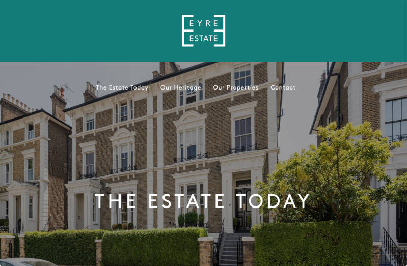
Former artists studios, now EYRE ESTATE office
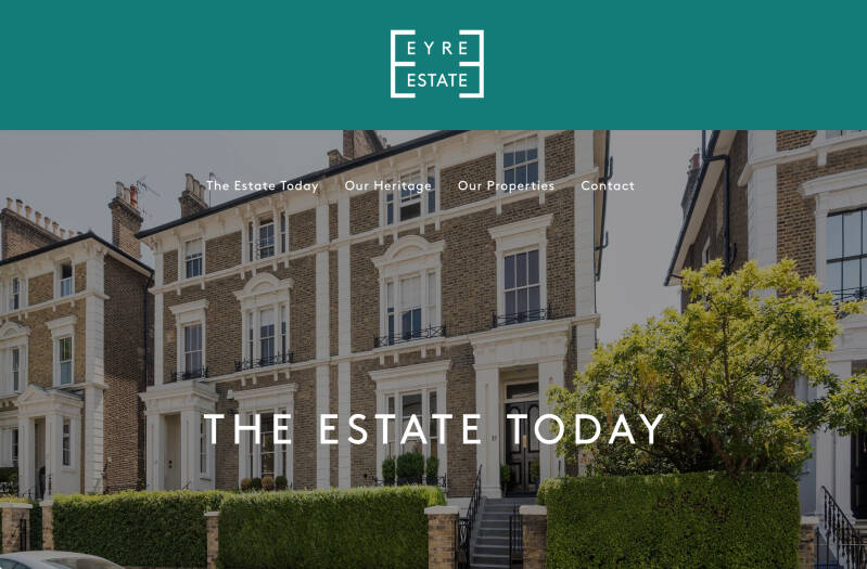
What made this plan unusual was the proposed use of semi-detached houses – the first example of their kind in any town or city at that time. These new semi-detached Italianate and Gothic villas also formed what is thought to be the first example of a planned London suburb; a significant precursor to the more familiar garden suburb developments of the 1930s that we know today.
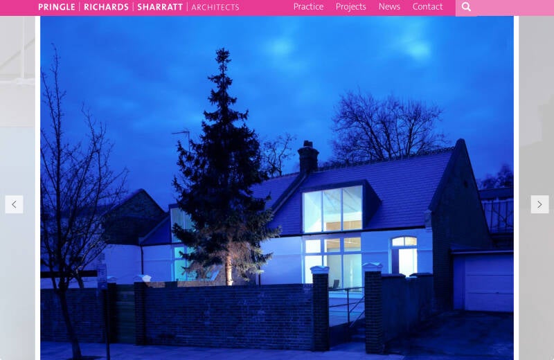
The Eyre Estate commissioned the practice to carry out the conversion of two Victorian studios into a single building for use as their Estate Office, handling the management and day to day running of the Estate.
St.John’s Wood Terrace
St .MARYLEBONE ALMSHOUSES
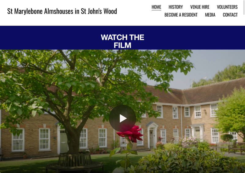
In 1827, Count Woronzow, the retired Russian ambassador, left a charitable bequest of £500 in his will. His generous gift, formally proven in 1832, laid the foundation for the St Marylebone Almshouses.
Designed to support the impoverished, elderly residents of Marylebone, Count Woronzow's act of philanthropy became a testament to his enduring compassion. His name is eponymous with the road which forms the boundary to the Almshouses.
With further support from local benefactors like Colonel Henry Samuel Eyre, who offered land at a nominal rent, the Almshouses began to take shape.

Diversion/Exit to REGENT’S PARK and the WEST END
Charlbert Rd
Nos.50-52/Drinking fountain
Former School, now RAK recording studios
De Walden Institute at 43-48 The area was developed by the De Walden Family
The studios were set up by RAK records which was created by legendary record producer Mickie Most (Michael Peter Hayes: 1938 – 2003). He was part of a duo in the mid 1950s called the Most Brothers and in 1959 he renamed himself Mickie Most. He had quite a bit of success in South Africa but apparently tired of the touring.

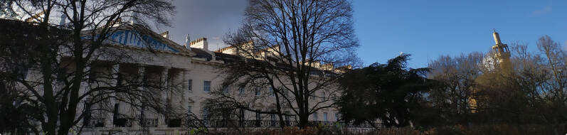
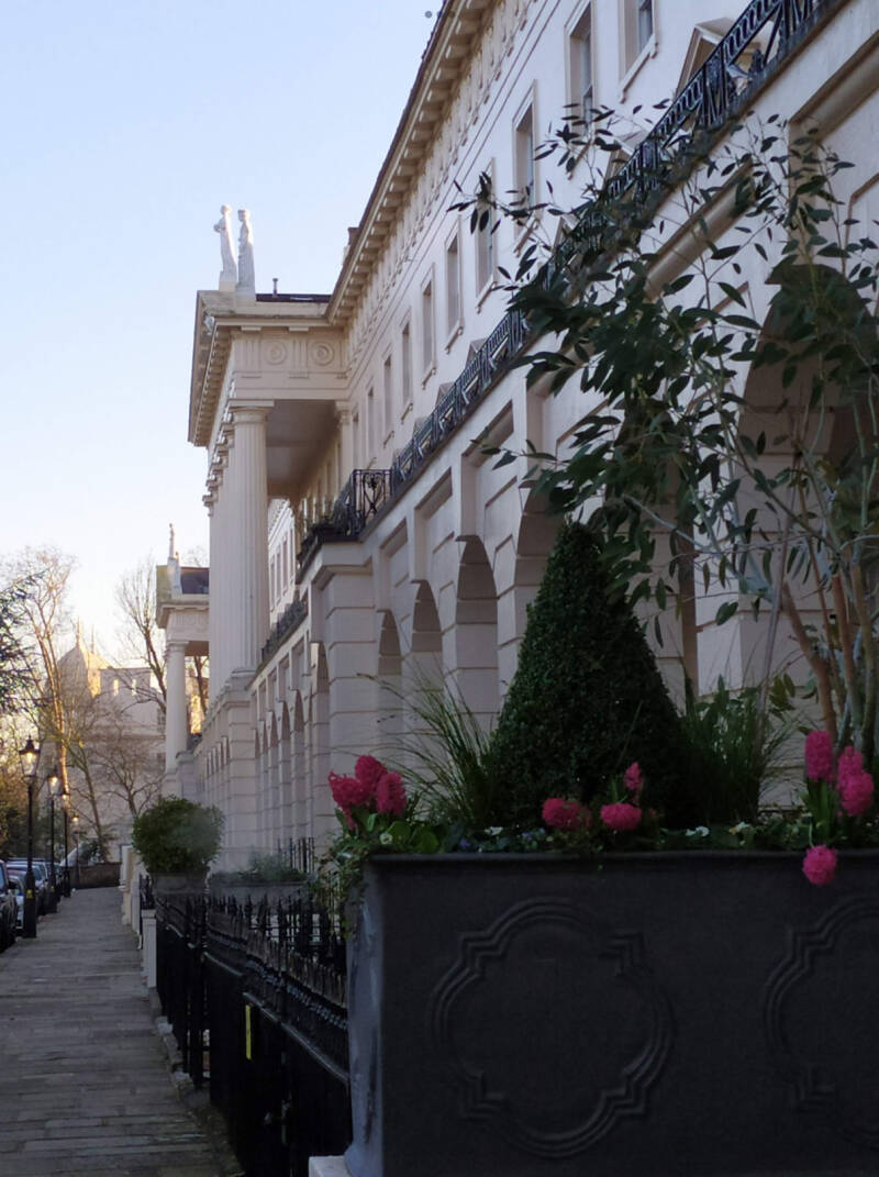
Outer Circle
VILLAS
WINFIELD HOUSE: official residence of the Ambassador of the USA
HANOVER LODGE
CENTRAL MOSQUE
HANOVER TERRACE
SUSSEX TERRACE
CORNWALL TERRACE
ULSTER TERRACE

YORK GATE
ROYAL ACADEMY OF MUSIC
ST.MARYLEBONE PARISH CHURCH
End of diversion. Your route can continue through the West End.
Remember, you are in ST JOHN’S WOOD. Back, along ST.JOHN’s WOOD TERRACE
Former METHODIST CHAPEL
“Opposite our house was a large building with a classical portico and tall pillars. It had been through numerous vicissitudes, having started life as (I think) a Methodist chapel, and had then for a time been that rare thing, a doubles squash court, which must have been an over-crowded and dangerous business for the players. By the time we were there it had become a film studio which was mainly used for advertising shorts. The children used to be riveted when actors in strange costumes came out for a smoke-break in the street.” From ST.JOHN’S WOOD MEMORIES.
Ordnance Hill
Site of barracks. The army, here?. Now, new development:


“Cannon and great guns collectively, artillery," 1540s, an old, clipped form of ordinance (q.v.) which word was attested from late 14c. in the sense of "military materials, provisions of war;" a sense now obsolete but which led to the specialized meanings "engines for discharging missiles" (early 15c.) and "branch of the military concerned with stores and materials" (late 15c.). The shorter word was established in these distinct senses by 17c.
The Ordnance survey (1833), an official geographical survey of Great Britain and Ireland, was undertaken by the government under the direction of the Master-General of the Ordnance (the natural choice, gunners being thoroughly trained in surveying ranges and distances).
Research indicates that the area was predominantly woodland until the Roman period (circa AD 47). By the medieval era, the forest had been cleared for farmland, a usage that continued until the early 19th centur y. 1812, the site was developed into barracks for the Corps of Gunner Drivers.
The Corps was replaced by the Cavalry Riding Establishment in 1823 and in 1824 a Riding School was constructed on the site. The Cavalry vacated the premises in 1832, and the Recruit Depot for the Foot Guards moved in, leading to the construction of a barracks to the south of the Riding School.
The property was continuously occupied as a barracks until 2012, when the King’s Troop relocated to Woolwich
Circus Road
POST-OFFICE

At the time, The Beatles were in Hamburg, playing at the Star Club. Brian immediately went to St John’s Wood Post Office in Wellington Road – about a 10 minute walk from Abbey Road, to send them a telegram to tell them the good news, and another to Bill Harry – so the news could be reported in the next issue of ‘Merseybeat’
Shops and eateries
Detour towards ST.JOHN’S WOOD Parish church
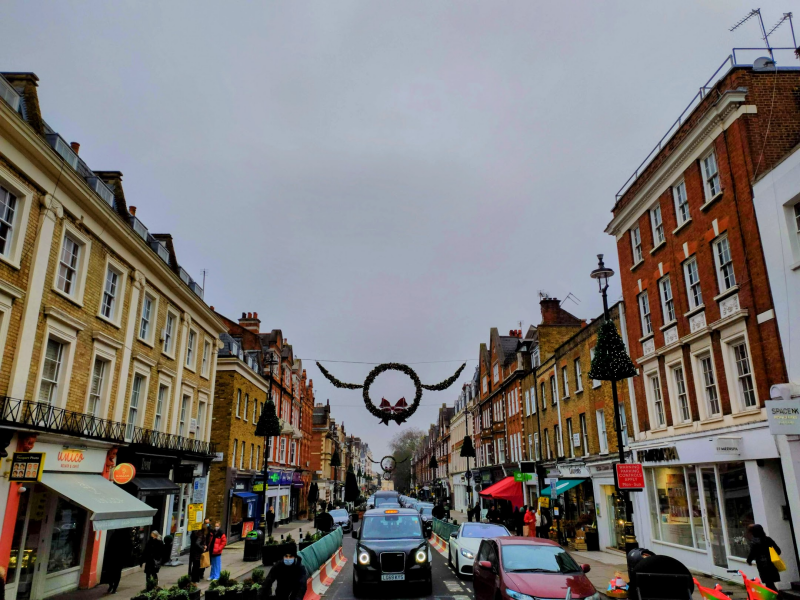
HIGH STREET
Shops and eateries

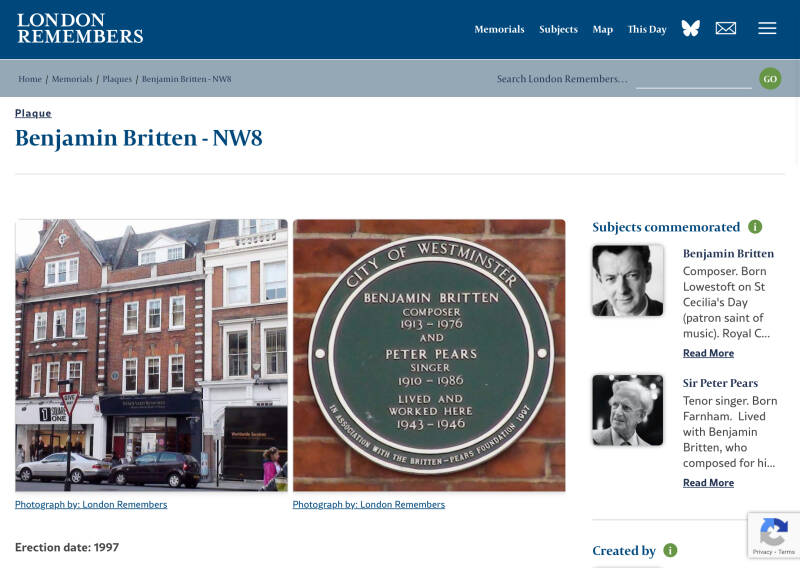
BENJAMIN BRITTEN & PETER PEARS lived here
Former SIR ISAAC NEWTON P.H., now a branch of THE IVY restaurant
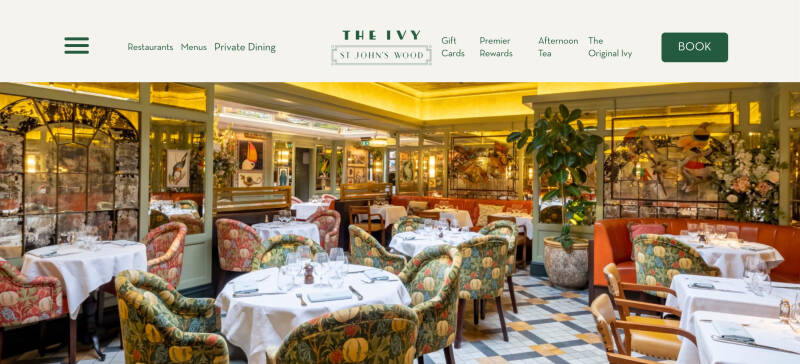
Brick and terracotta-faced pub of 1892; intricate glazing to the ground floor windows
Alisten Road
Former DRILL HALL
London has a rich history of drill halls, buildings used for military training and assembly, particularly by volunteer units. Many of these halls, dating back to the late 19th and early 20th centuries, have been repurposed for various uses, including community centers, theaters, and office spaces
The building was designed as the headquarters of the 3rd County of London Yeomanry (Sharpshooters) in what was then known as Henry Street (now Allitsen Road) in St John's Wood and was completed in 1912.[1] The regiment was mobilised at the drill hall in August 1914 before being deployed to Gallipoli
Former THE PORTLAND ARMS P.H., now SOUTINE Restaurant
The former pub at 60 St. John's Wood High Street is now a restaurant called Soutine. It was previously known as the Portland Arms and was part of the Charrington pub chain. It later became an All Bar One and then a Carluccio's restaurant before its current iteration as Soutine
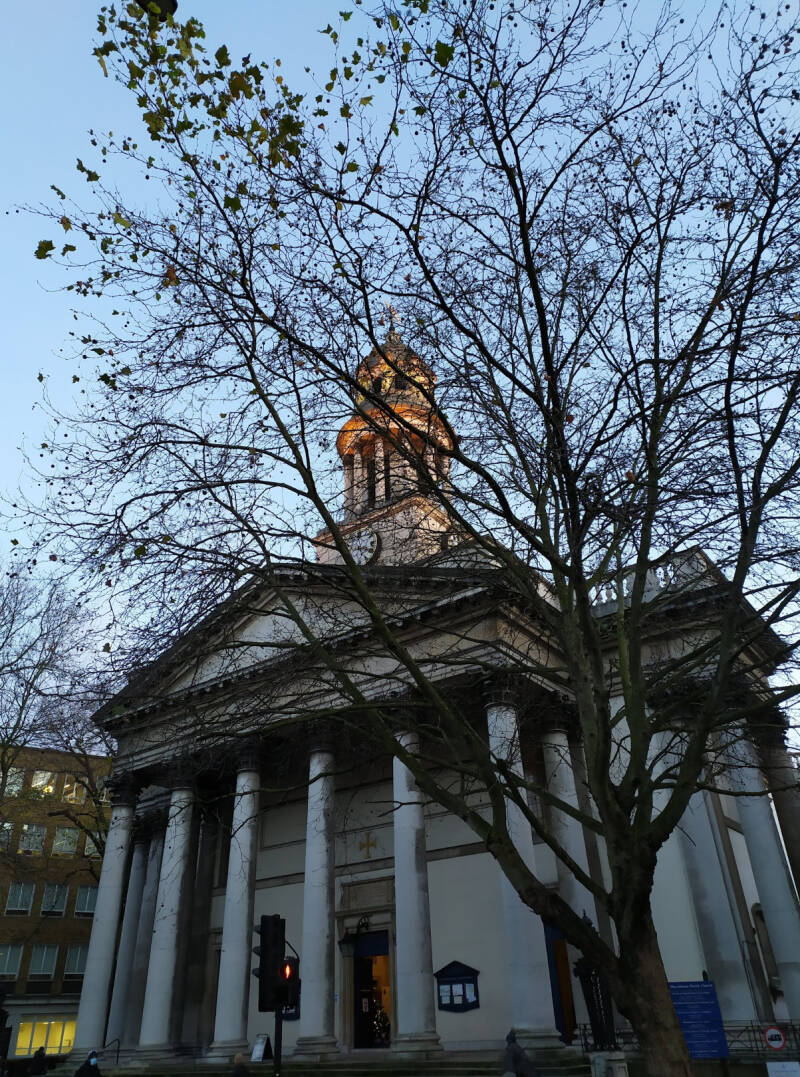
ST.JOHN’s WOOD Church
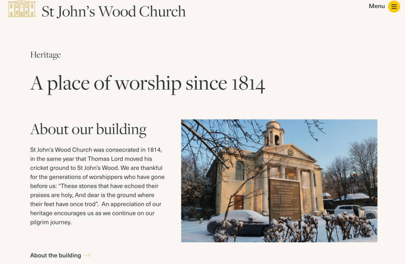
St John's Wood Church started life as a chapel of ease to St Marylebone Parish Church, and was constructed in 1814 by Thomas Hardwick, who was simultaneously constructing the current St Marylebone Church.[5]Although the church originally had extensive burial grounds, these were closed in 1855 and opened as a public garden, St. John's Wood Church Grounds, in 1886.[6]There are thought to be around 50,000 graves, including those of the artist John Sell Cotman and the prophetess Joanna Southcott.[7]
In 1898 the building became a chapel of ease to Christ Church, Marylebone, and increasingly became the centre of administration for the parish.[8]
After bomb damage during the Second World War rendered St Stephen's, Avenue Road[9] unusable, St John's Wood Church became a parish church in its own right in 1952.[10] As well as holding regular services for the community, the church hosted the society wedding of Peggy Cripps to Joe Appiah in June 1953,[11] the blessing of the marriage of Paul and Linda McCartney in 1969,[12] and the funeral of Ursula Vaughan Williams in 2007.[13]
A Church Hall complex was constructed in the 1970s, the completion of which was marked with the erection of a statue of the church's patron, John the Baptist, by Hans Feibusch.[14] Restoration of the church interior took place in 1991 under the supervision of Michael Reardon, when the chancel pavement was relaid in limestone and the present central altar replaced the high altar at the east end of the church.
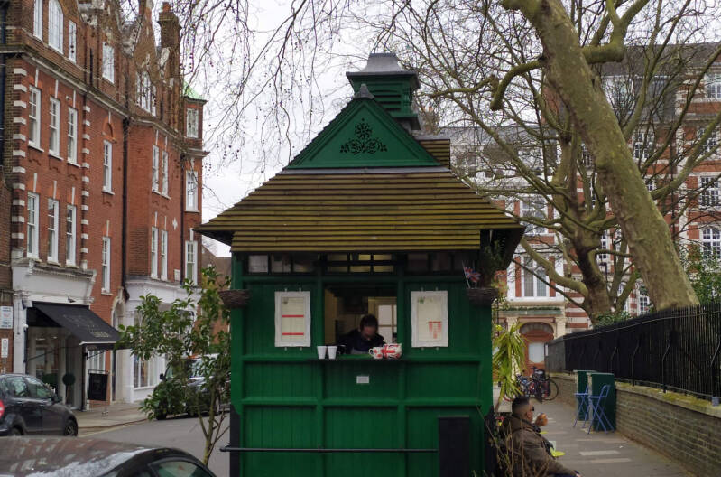
CAB SHELTER

Captain George C Armstrong, the editor of ‘The Globe’ newspaper, came up with the idea of establishing cabmen’s shelters after he was unable to get a cab during a storm one evening because all the drivers had gone to the local pub.
LORD’S CRICKET GROUND

On your way to the famous BEATLES ZEBRA CROSSING
St.Anne’s Terrace
Acacia Road
UNDERGROUND STATION
13th April 1868. Between Swiss Cottage and Baker Street on the Jubilee Line. Built by the Metropolitan Railway and opened as ‘St. John’s Wood Road’ . In 1879 it was opened between Baker Street and Swiss Cottage and in April 1868 Metropolitan ran it up to West Hampstead. In 1925 the name changed to ‘St.John’s Wood’ and in 1939 renamed ‘Lords’. It became part of the Bakerloo Line in 1939.
The present day station is between the old St John's Wood Metropolitan Line and Marlborough Road Station.The original Metropolitan Line station nearby was closed on 20th November 1939 when the present station was opened. There is a portrait of Thomas Lord who founded Lord's Cricket I Ground in the tiles under the archways leading from the platform. This is one of the few tube stations that still has its bronze escalator lamps. Acacia Road and Wellington Road. In 1979 it became part of the Jubilee Line
BEATLES SHOP
https://www.londonwalksandall.co.uk/the-beatles-in-london
On the map, I have pointed out BOUNDARY ROAD

Along Grove End Road. You are crossing Wellington Rd (left) /Finchley Road (right)
St.JOHN and St.ELIZABETH HOSPITAL

The hospital was founded in 1856, with a Roman Catholic affiliation and is a registered charity. It was founded as the "Hospital of St Elizabeth" by the Duke of Norfolk. It was placed under the charge of the SISTERS OF MERCY.
Originally located in Great Ormond Street, London, by the end of the 19th century it had relocated to St John's Wood and adopted its present name. The chapel which once stood on Great Ormond Street was moved brick-by-brick to its new site at the Hospital in St John's Wood.
A hospital for women, children and the terminally ill.
Circus Road
THE CHAPEL
Entered thorough the hospital, but the outside viewed from Circus Road
7 Cavendish Avenue. PAUL McCARTNEY’s house
THE AMERICAN SCHOOL
NORTH LONDON SYNAGOGUE
The Saatchi Synagogue, also called The Saatchi Shul, is an Orthodox Jewish congregation that worships here, in the Ashkenazi rite
The congregation was founded in 1998 in Maida Vale, London by Charles Saatchi and Maurice Saatchi.The first rabbi of the congregation was Pinchas "Pini" Eliezer Dunner.
Initially meeting at Andover Place, in Maida Vale, in a part of the building that once formed the Bayswater Synagogue, the congregation subsequently moved its services to the site of the St John's Wood (United) Synagogue, and in 2018 plans were made to merge the two congregations.
THOMAS BEECHAM. ‘The old bugger seems to like it!’, he said, to his orchestra, when he saw Hitler applaudin,
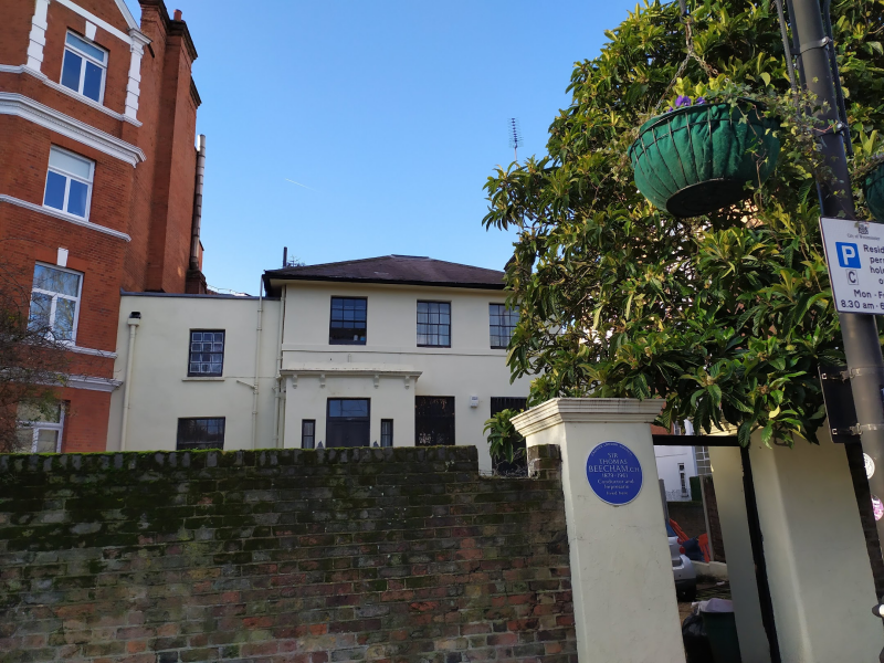


Founder of orchestras thanks to his fathers fortune ( Beecham’s pills)
”There are two golden rules for an orchestra: start together and finish together. The public doesn’t give a damn what goes on in between”
SIR LAWRENCE ALMA-TADEMA lived here
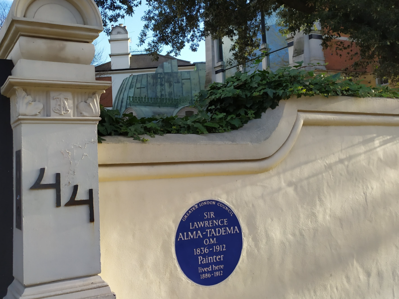
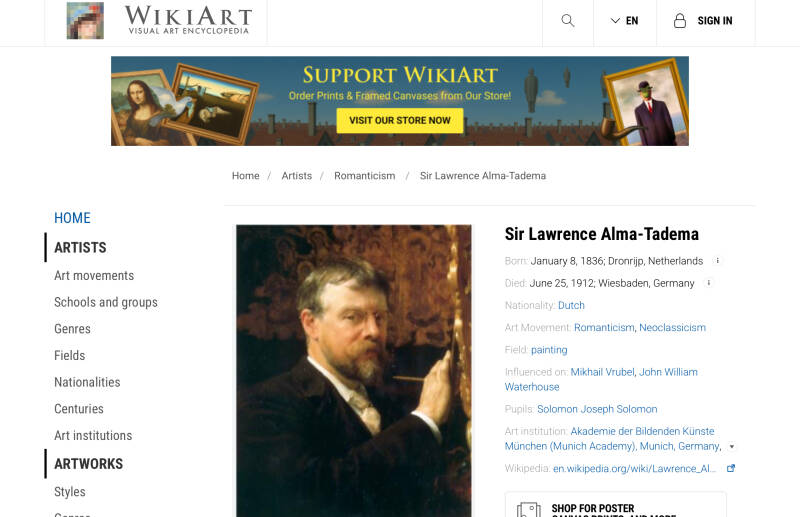
He meticulously painted reconstructions of life in the ancient world, particularly Rome, which proved enormoappealing to his Victorian patrons.
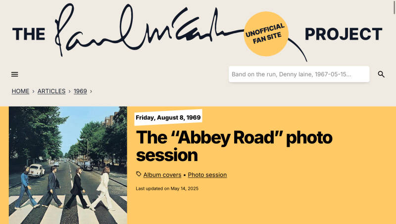
Abbey Road
EMI STUDIOS

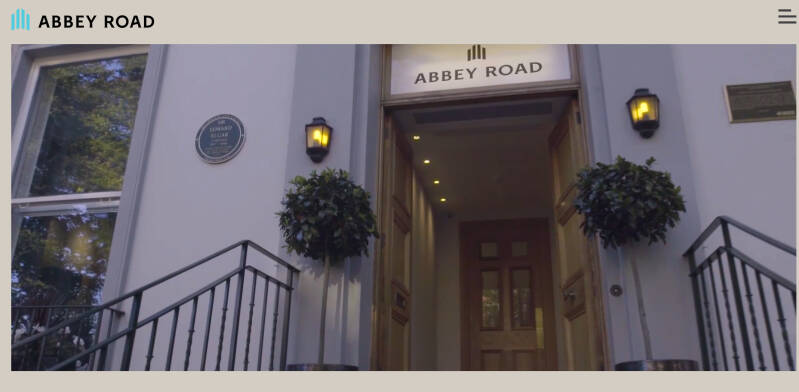
Shop

Abbey Road Studios is the most famous recording studio in the world and a global music icon. Originally a nine-bedroom Georgian townhouse built in 1831, Number 3, Abbey Road was purchased by the Gramophone Company in 1929.
Using the large garden at the rear, they constructed the world’s first purpose-built recording studios in 1931. On 12 November of that year, following a merge with the Columbia Graphophone Company to form Electric and Musical Industries, EMI Studios were opened in a ceremony that saw Sir Edward Elgar conduct the London Symphony Orchestra in a performance of Land of Hope and Glory.
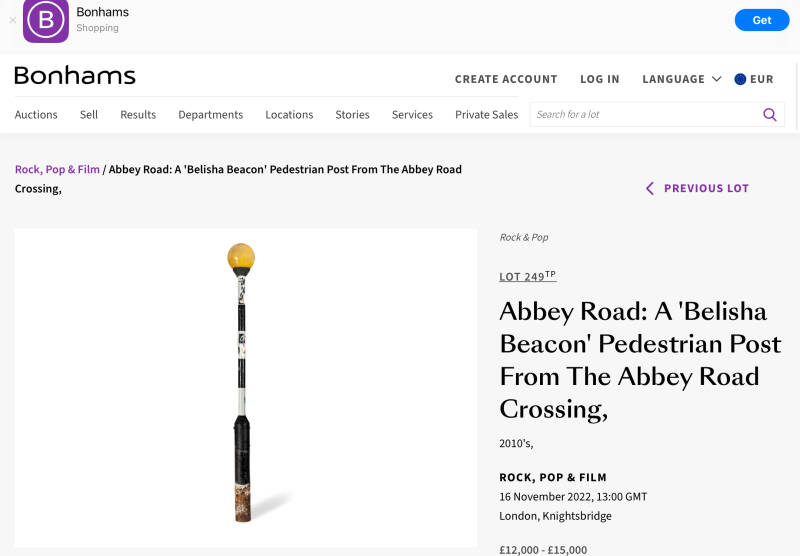
ZEBRA CROSSING NEAR ABBEY ROAD STUDIOS
The crossing was given the official status of Grade II Listed Building by English Heritage in December 2010.[3] The zebra crossing featured on the Beatles cover has become a popular photo opportunity area, despite the road still being a busy thoroughfare for traffic.
The crossing may have been relocated several metres as part of traffic management work in the 1970s, with a spokesperson for Westminster City Councilsaying in 2010 that "by comparing photographs with the Ordnance Survey maps, we believe that the crossing might have been further north nearer 3 Abbey Road, which was the front house of the EMI Studios, because the steps of Neville Court appear to the right of the crossing in original photographs of the crossing, whereas the present crossing is near the junction of Abbey Road and Grove End Road"

A little detour very close to the EMI studios
Former HEROES OF THE ALMA P.H.: “Fingers out! Dickies in!” (former landlord, calling closing time)
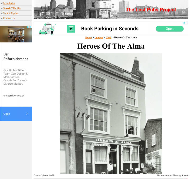
The Heroes Of The Alma was situated at 11 Alma Square, off Abbey Road. The Beatles used to visit, between recording sessions. Closed in 2002 it is now used as a private dwelling.
Nugent Terrace
Parade of shops and cafés

Violet Hill
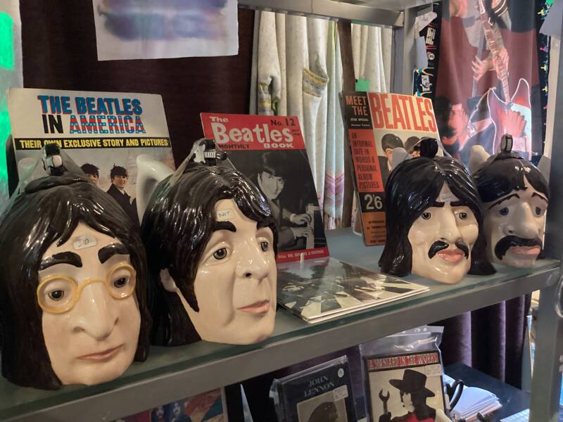
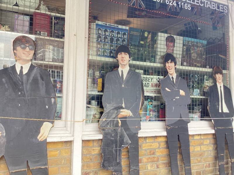
ST.JOHN’S WOOD COLLECTABLES (BEATLES ,but non only, merchandise)
A little detour North, up Abbey Rd., to Boundary Road
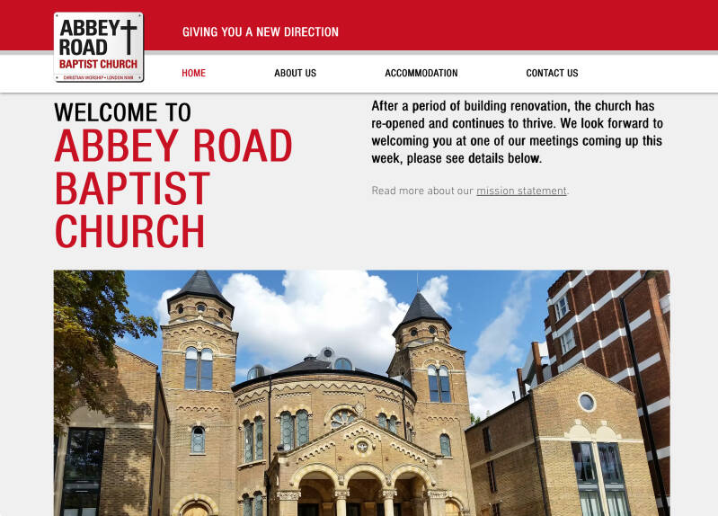
BAPTIST CHURCH
1874. A Building Society was founded here in 1874, which later became the Abbey National, and later on, a national bank (absorbed by Santander)
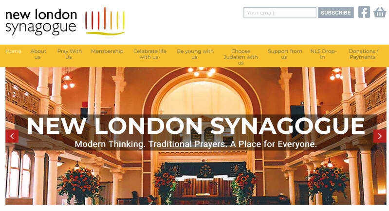
NEW LONDON SYNAGOGUE

BEN URI GALLERY of JEWISH, REFUGEE, and IMMIGRANT ART
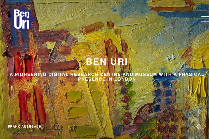
The Ben Uri Art Society was founded in the East End of London in 1915 by the Russian emigre artist Lazar Berson to provide an art venue for Jewish immigrant craftsmen and artists then unable to gain access to mainstream artistic societies, due to traditional obstacles faced by all migrant minorities.
Back to the route: along Abbey Rd. then Hall Rd.
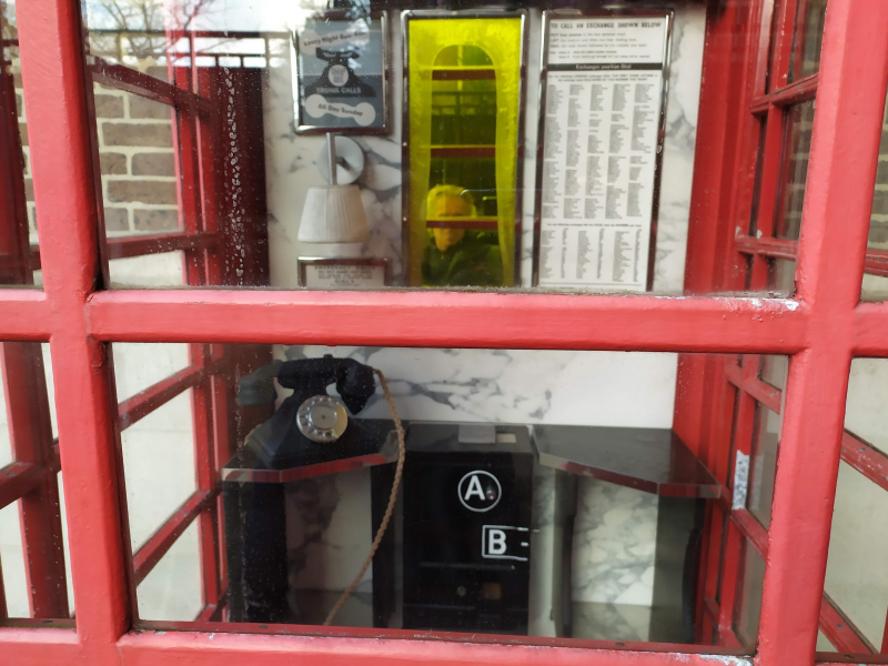
Former LORD’S telephone exchange, now YOO BUILDING, apartments.
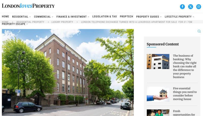
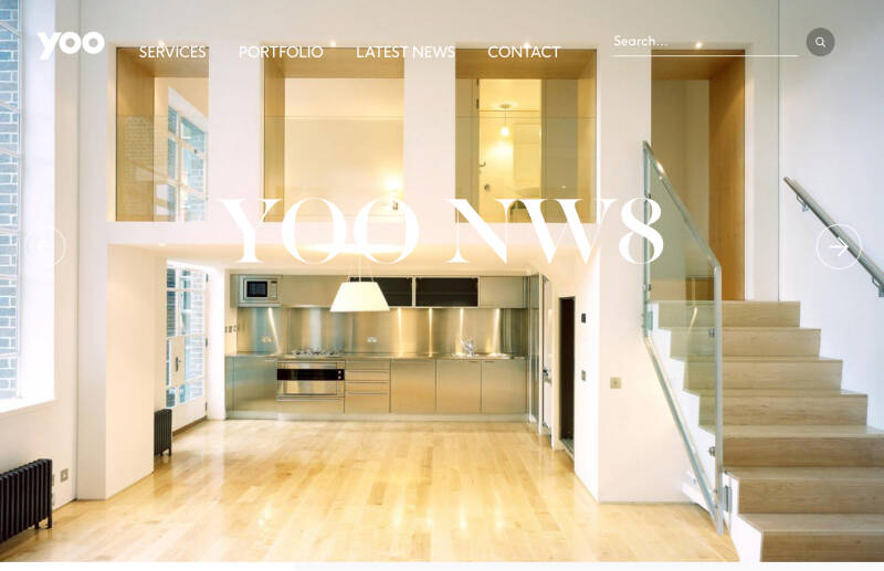
This truly unique building was renamed the Yoo Building and converted into spacious apartments in 2001 under the lifestyle brand YOO, by property entrepreneur John Hitchcock, and the world-famous French industrial architect Philippe Starck.
Double-decker?

The real ones
The new ones

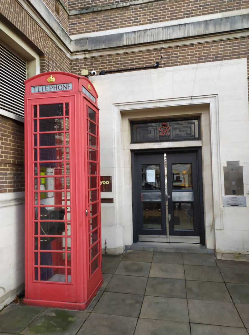
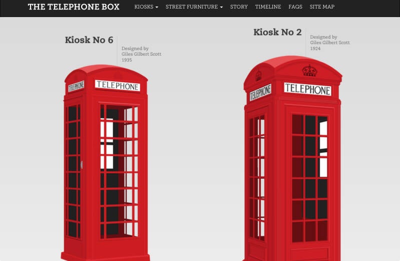
This is really is a tall, rall telephone box. It’s not an original phone box but a piece of street art created by the famous French urban-furniture designer Philippe Starck. This phone box appeared in 2004 outside the old Telephone Exchange building on Hall Road in Maida Vale. It isn’t a functioning call box, but you can peer inside to see how these old phone boxes would have looked in the 1930s. There’s a handsome black Bakelite phone inside and a coin box. It’s rather beautiful, definitely quirky, and the chances are there won’t be a queue of tourists here either.
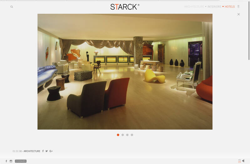
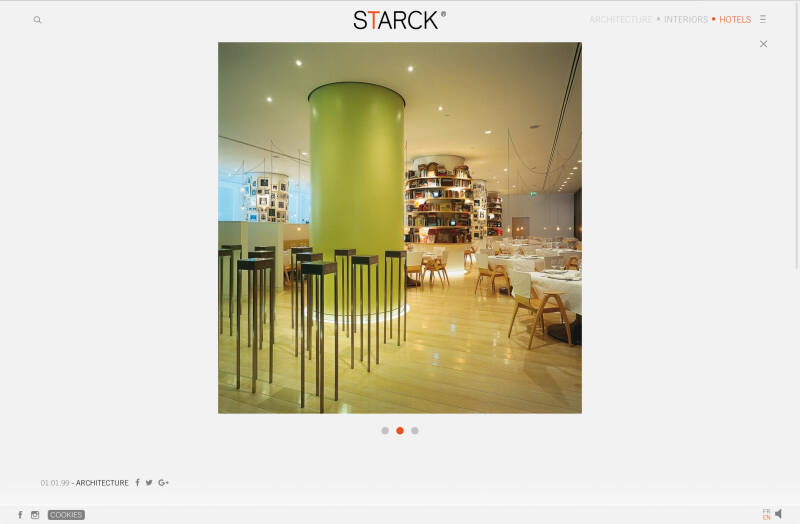
More works by PHILIPPE STARK in London
SANDERSON HOTEL
ST.MARTIN’S LANE HOTEL
Maida Vale (the road)
The route originated as part of Roman Watling Street and, unusually in London, it runs for 10 miles (16 km) in an almost perfectly straight line. Forming part of the modern A5 road, Edgware Road undergoes several name changes along its length, including Maida Vale, Kilburn High Road, Shoot Up Hill and Cricklewood Broadway; but the road is, as a whole, known as Edgware Road, as it is the road leading to Edgware.

Next chapter, MAIDA VALE and LITTLE VENICE